本文為英文版的機器翻譯版本,如內容有任何歧義或不一致之處,概以英文版為準。
標準地圖樣式
標準地圖樣式提供簡潔、現代和一般用途的地圖設計,可無縫適用於幾乎任何應用程式或網站。
顏色方案
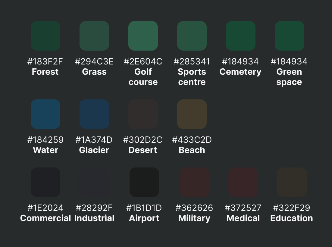
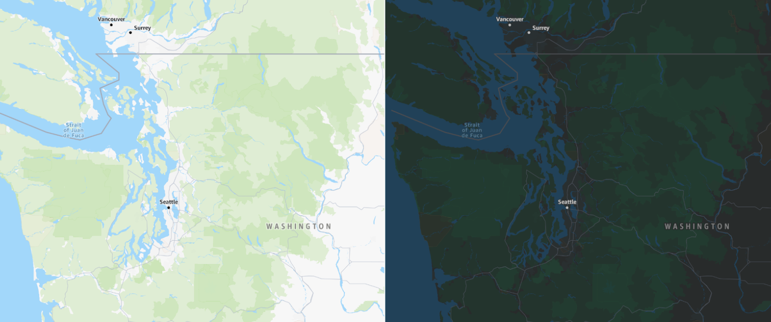
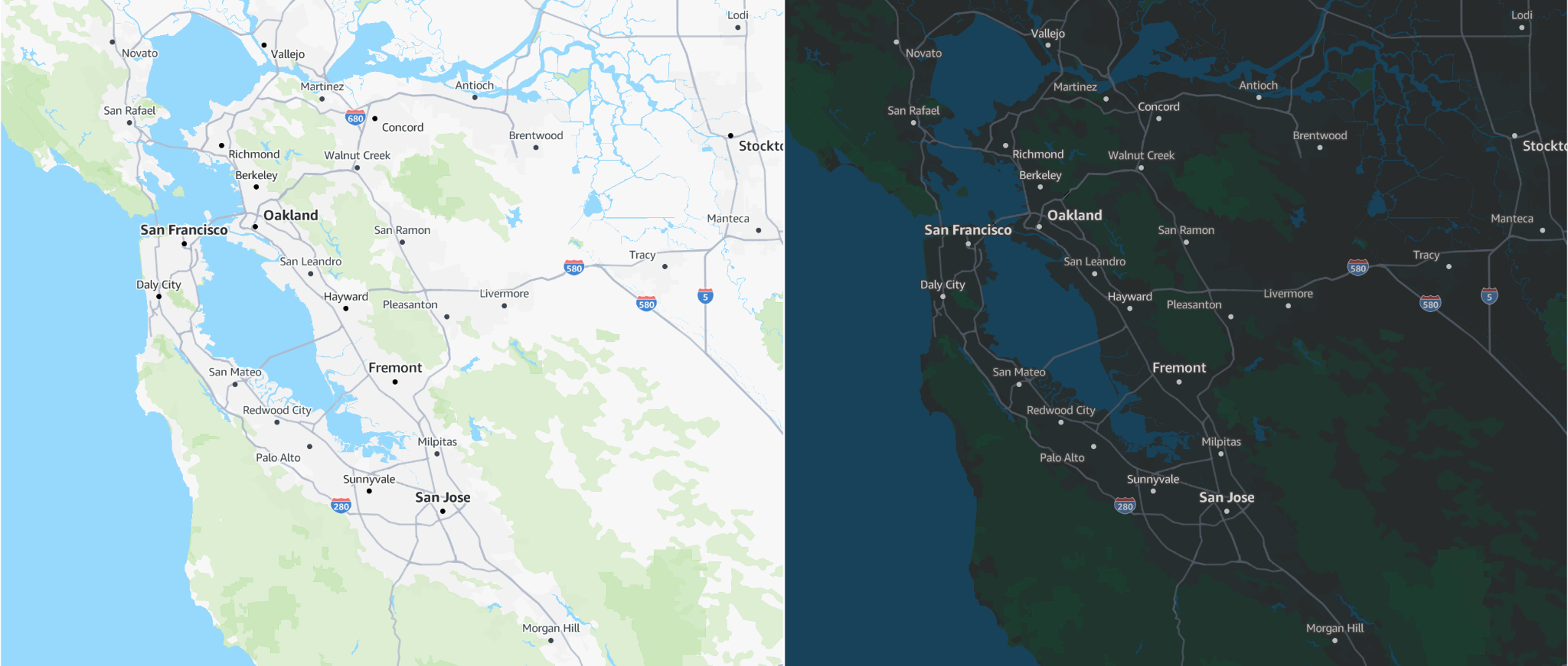
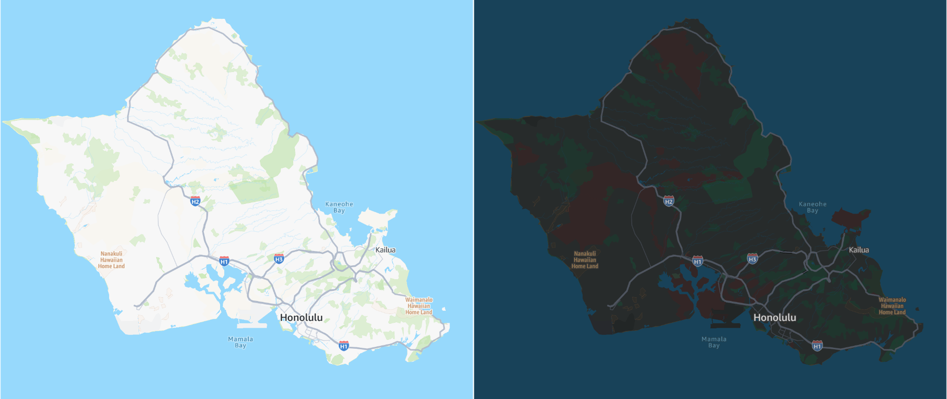
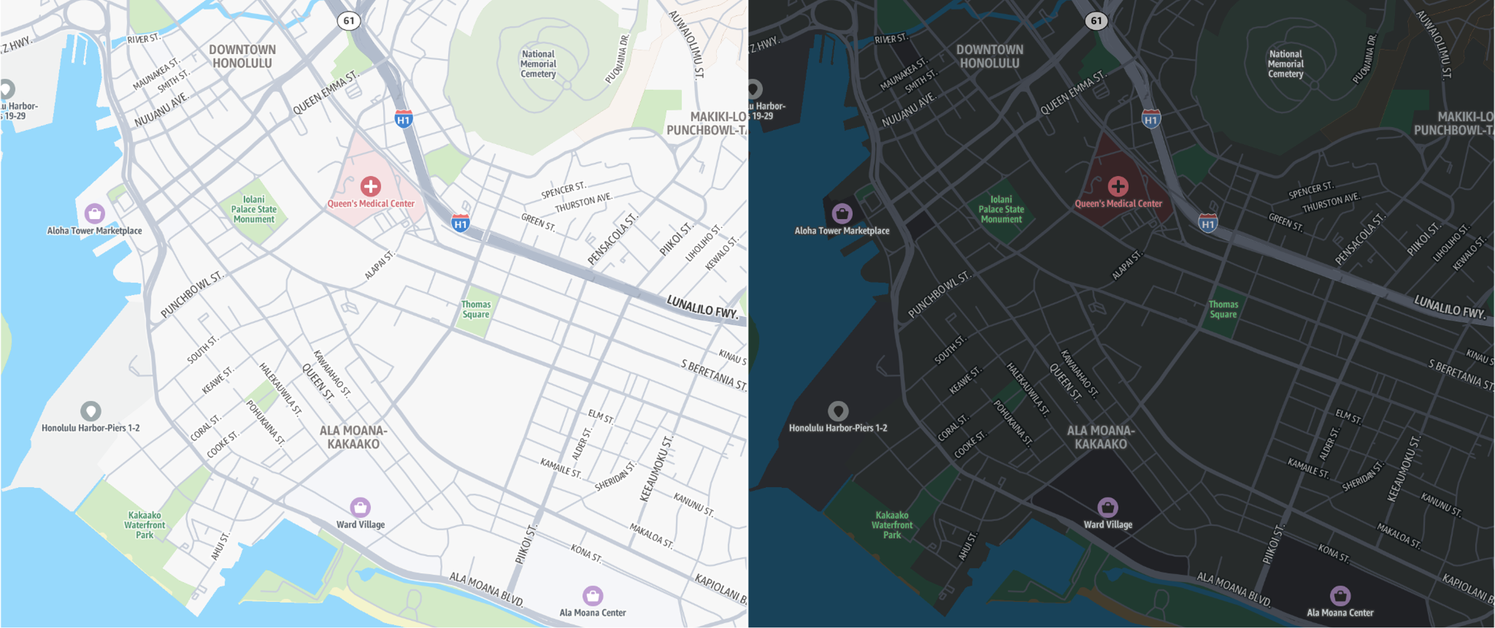
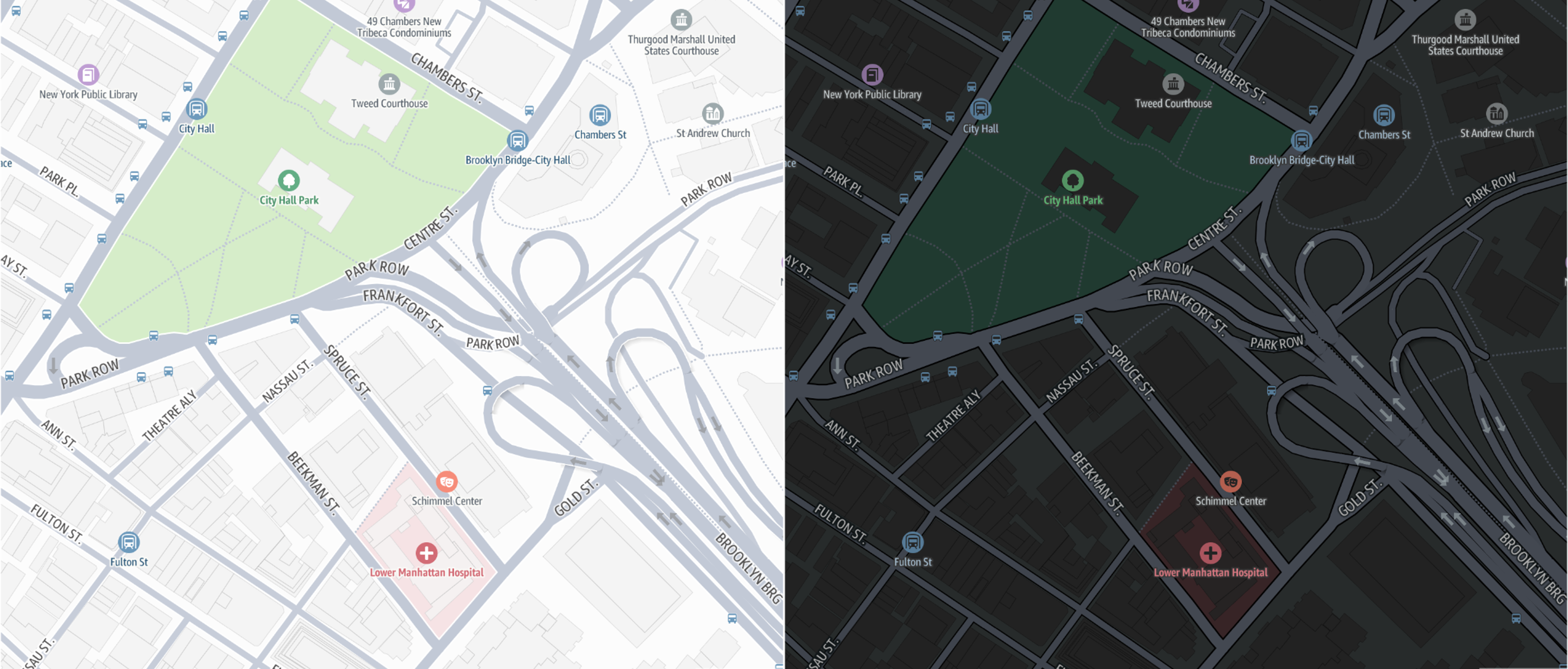
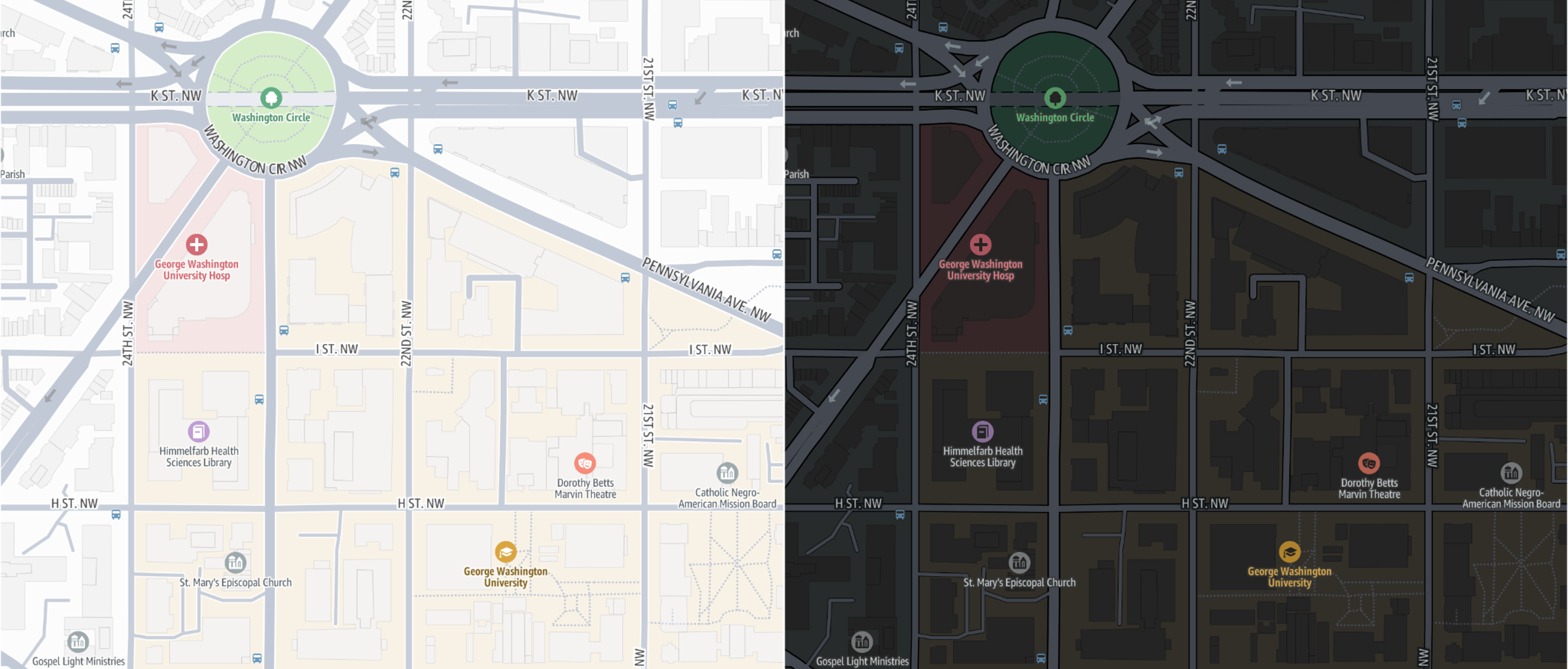
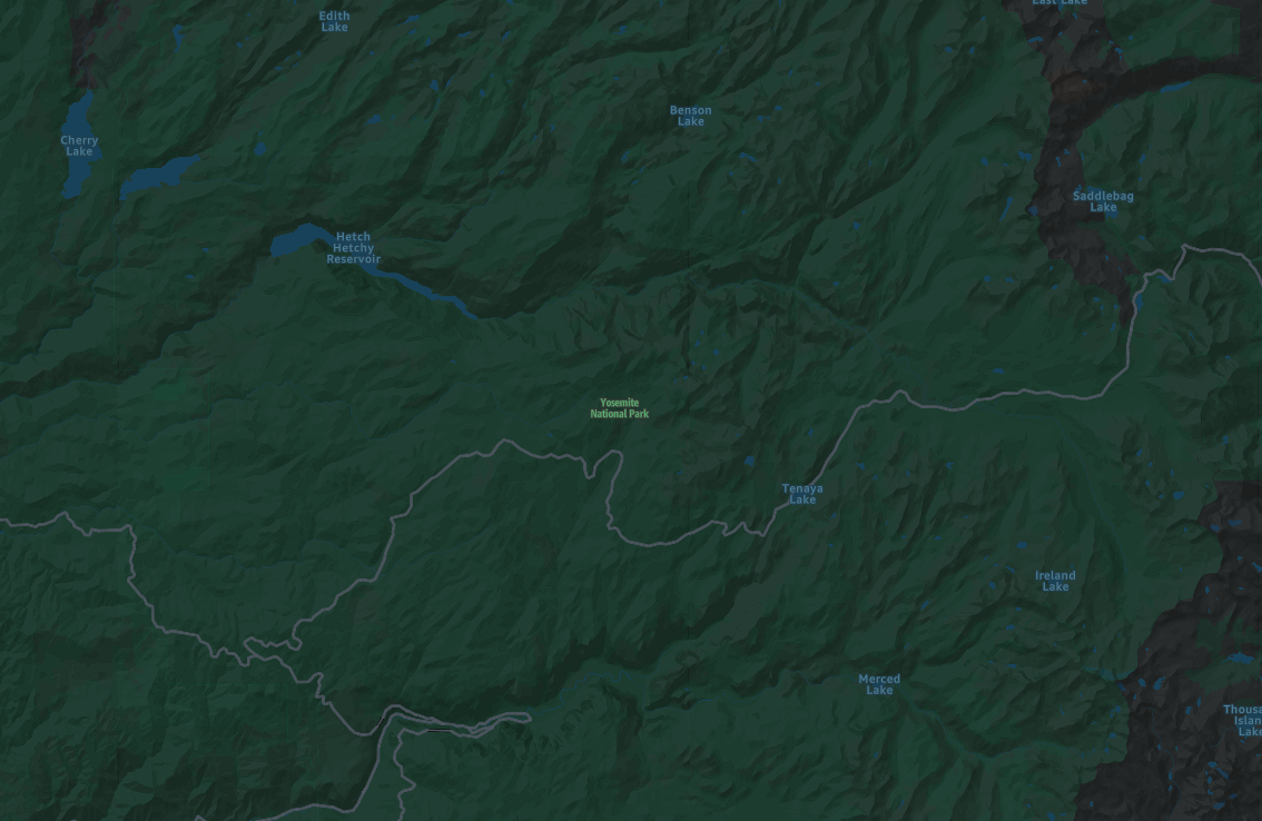
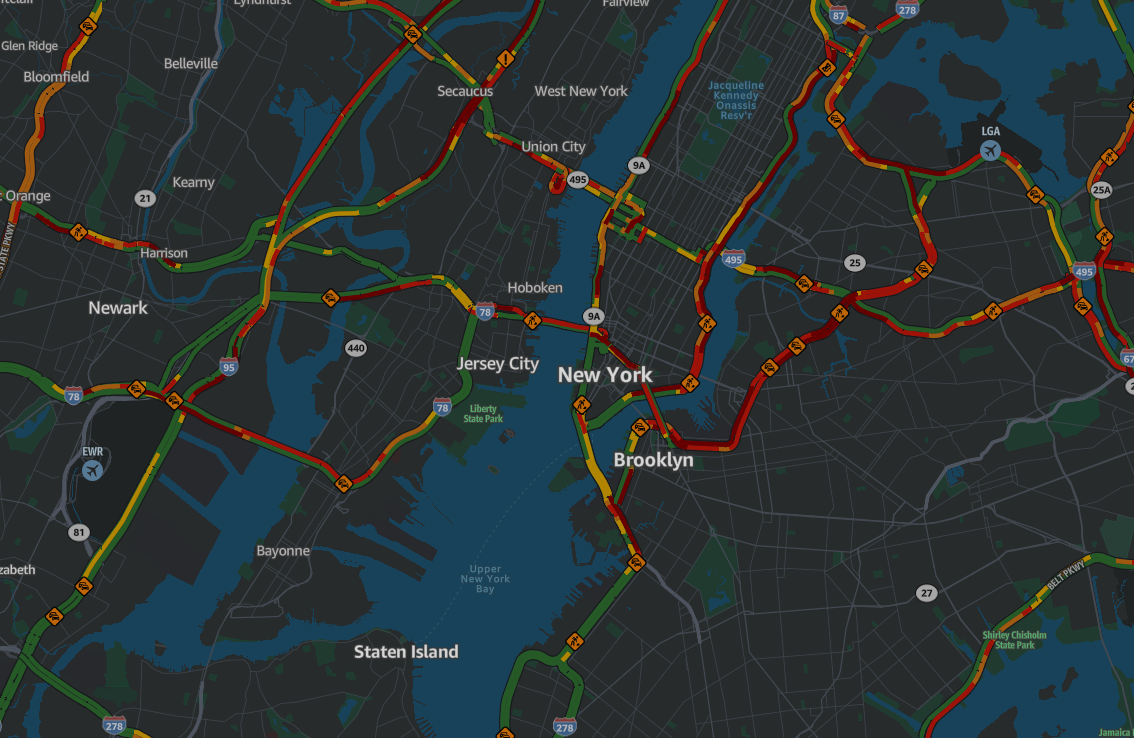
標準地圖樣式同時提供淺色和深色模式。光線模式是多樣化的,可以適應任何內容,而深色模式具有受限的調色盤,旨在清楚地顯示詳細資訊,並在較暗的環境中保持可讀性。這可確保最小的干擾,尤其是在夜間導覽等情況下。
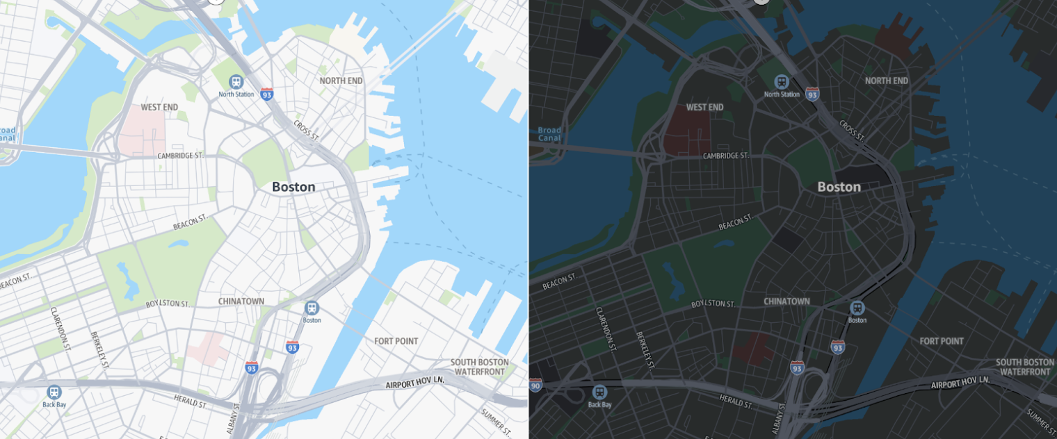
令人滿意的現代調色盤
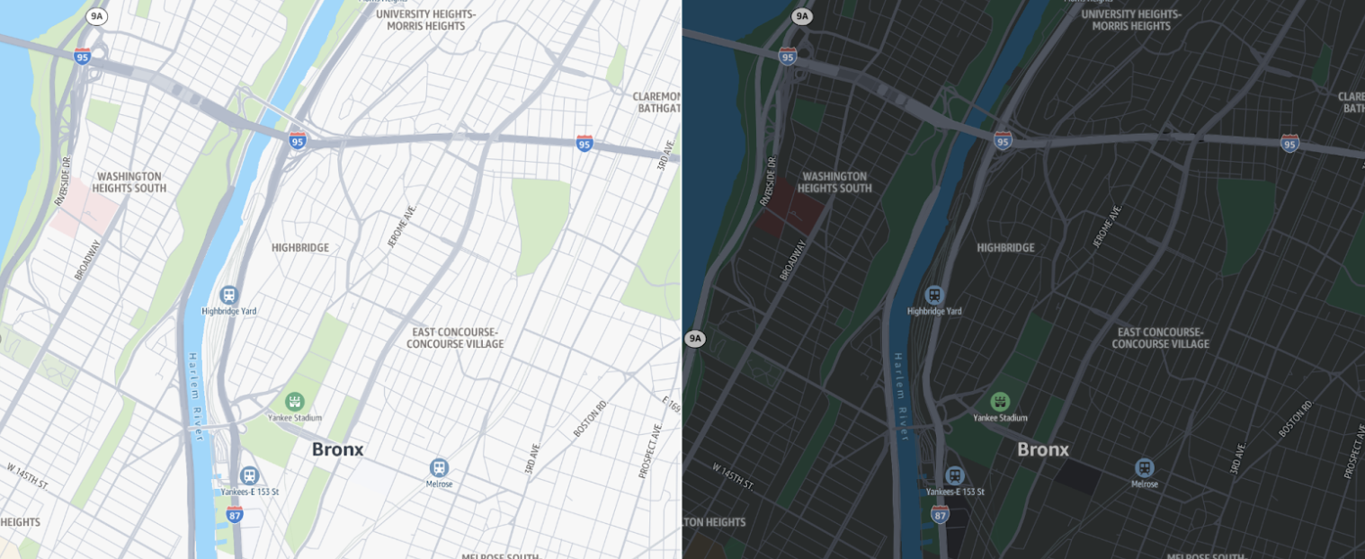
柔和的顏色提供重要的土地使用內容,而不會壓倒地圖,在高和低縮放層級提供有用的資訊。縮小功能,例如森林、荒野和冰河,為地圖增加豐富度。放大時,一系列顏色強調了重要的地標,例如學校、醫院、娛樂區域 (例如公園和運動設施),以及商業和工業區域等城市區域。
整體風格具有有凝聚力的調色盤,包括補充其各自土地使用區域的 POI 標記。道路網路以灰色陰影顯示,提供細節,而不會讓地圖充滿明亮、令人分心的顏色。
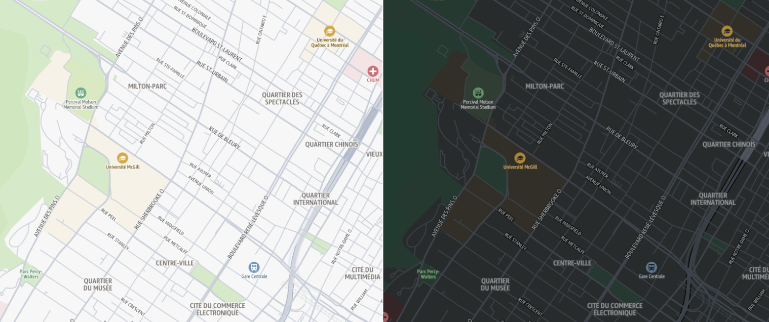
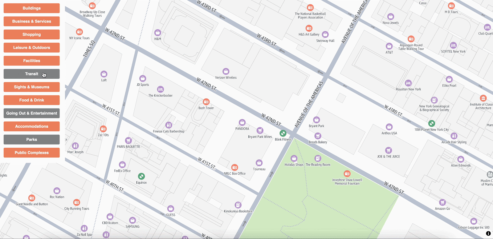
豐富的興趣點 (POI)
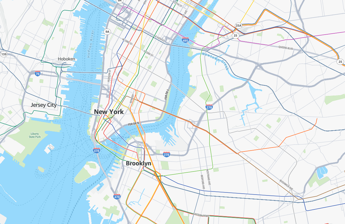
標準映射樣式支援一系列豐富的可設定興趣點 (POIs)。只要幾行程式碼,您就可以選取與使用案例相關的 POI 類別。
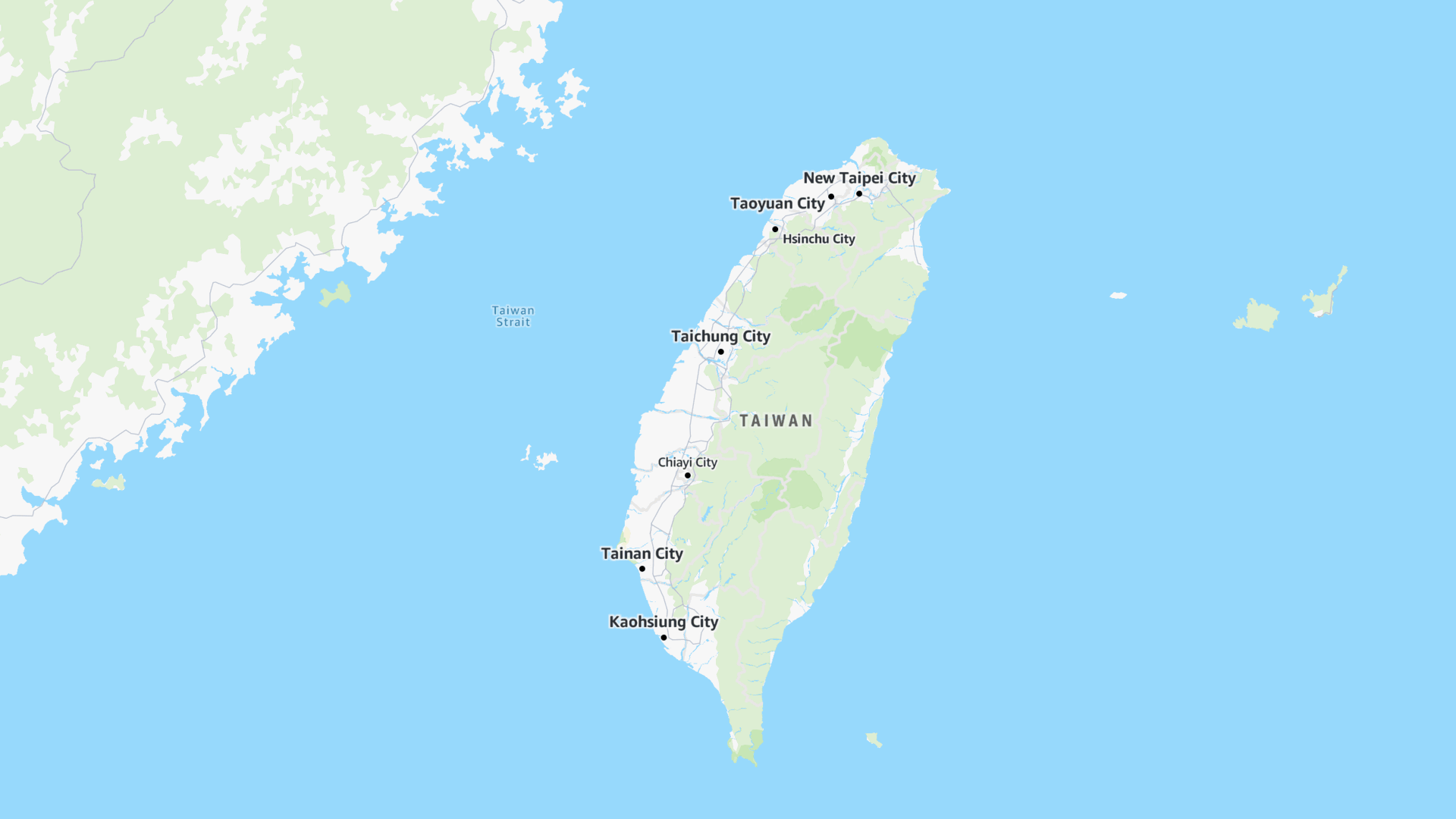
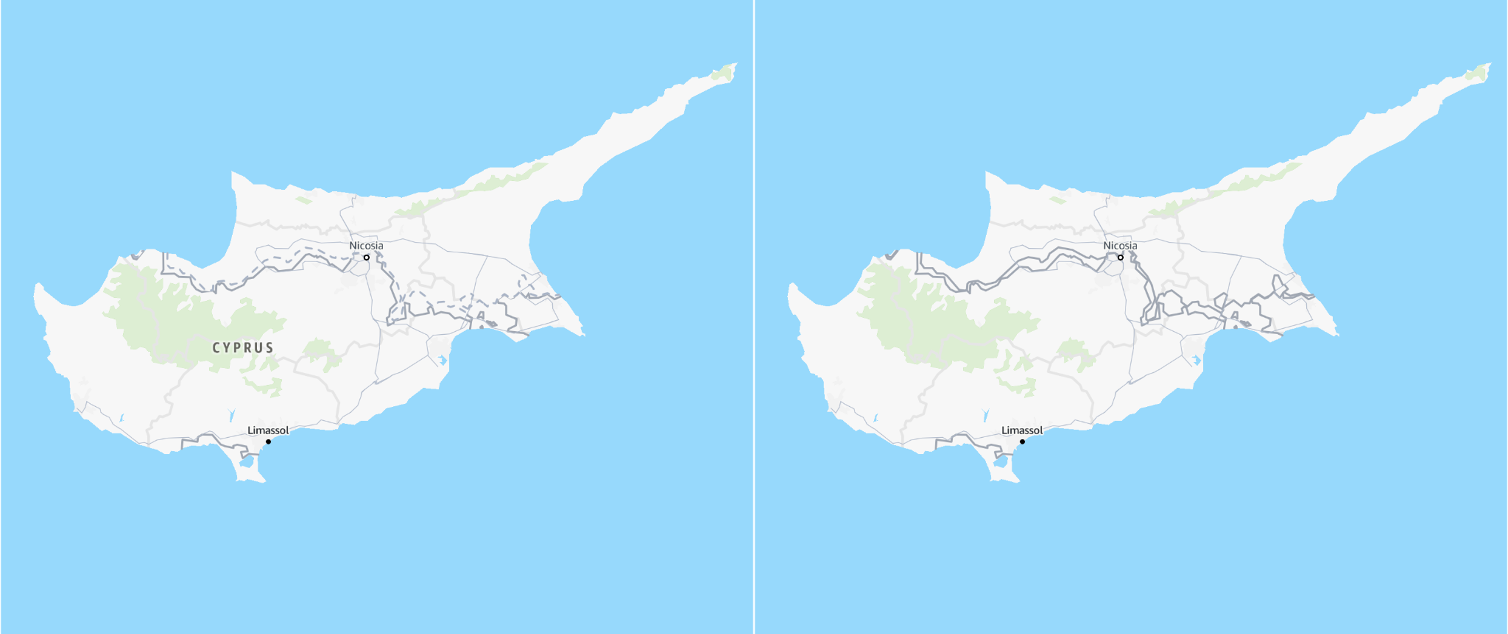
專為世界設計
標準樣式支援不同的政治視觀表,確保地圖為您的使用者顯示正確的邊界。樣式也允許輕鬆切換地圖標籤的語言,包括數十種支援的語言和寫入系統。
如需詳細資訊,請參閱 當地語系化和國際化。
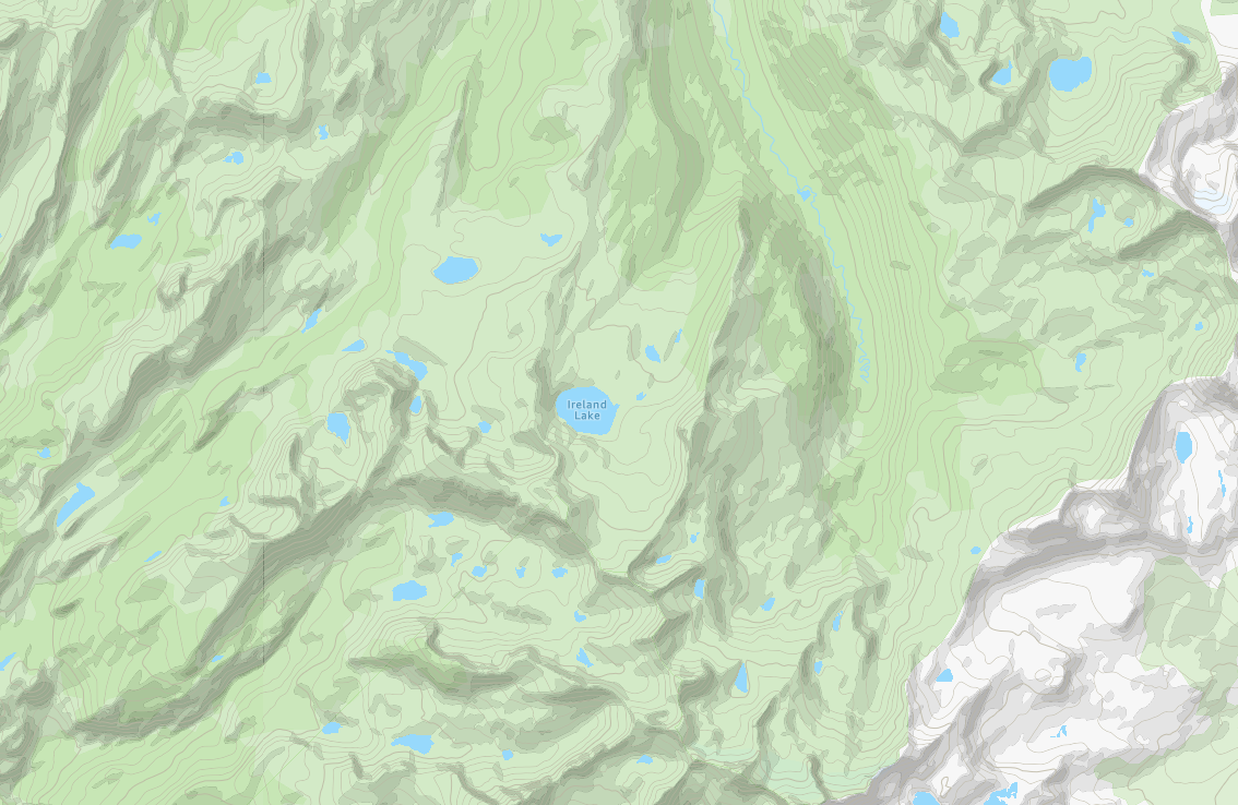
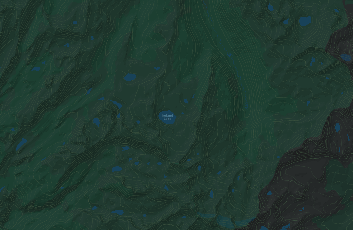
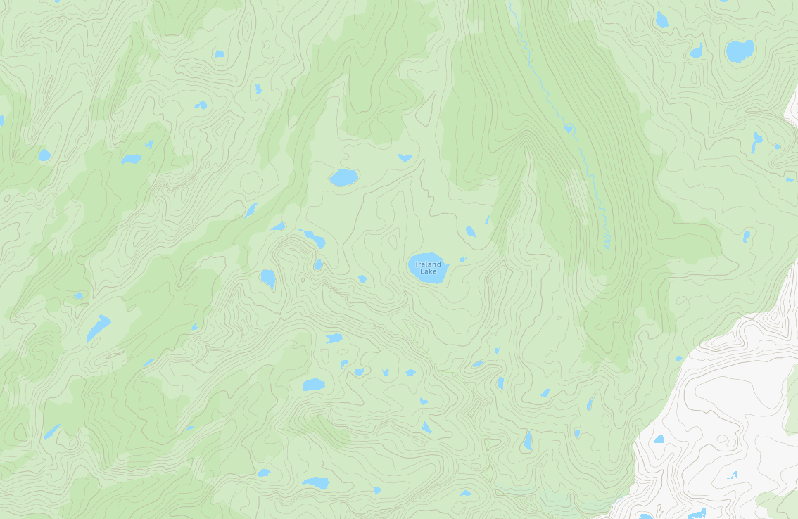
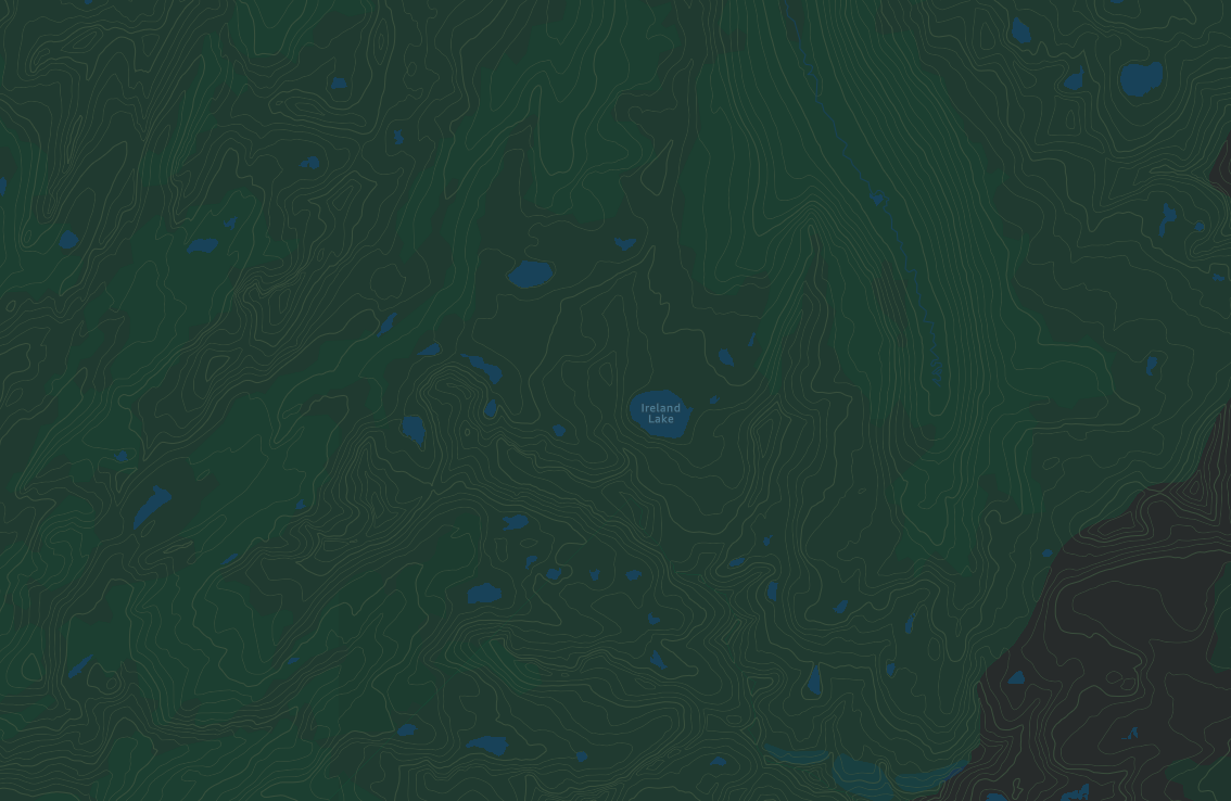
地形
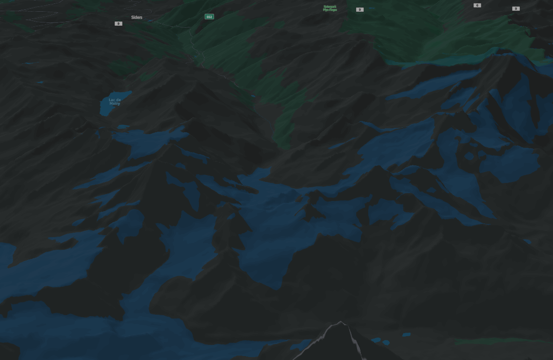
標準地圖樣式提供詳細的地形視覺化,強調海拔變化和自然地理特徵。等高線線條、陰影和地形紋理可真實呈現地景,讓使用者輕鬆解譯斜坡、山谷和山峰。此地形渲染非常適合戶外規劃、環境分析,以及了解地形特性可增強決策和空間意識的應用程式。
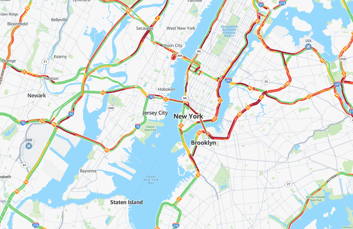
導航
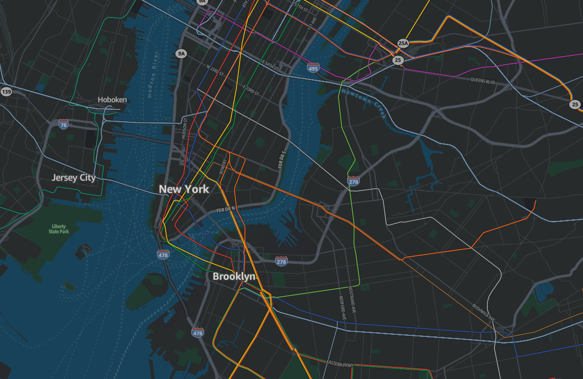
標準地圖樣式提供選項來提供動態視覺化,旨在最佳化導覽和路由規劃。即時流量資料反白顯示擁塞、事件和道路狀況,讓使用者能夠預測延遲並相應地調整其路由。使用多個旅行模式,例如卡車或公有交通,此功能可讓使用者為其路由選擇最有效率且內容適當的選項,確保更順暢且更明智的路由體驗。
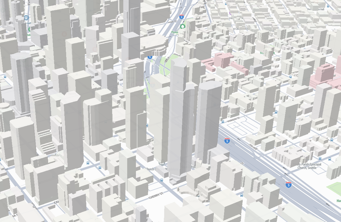
3D
標準地圖樣式提供身歷其境的三維視覺化,以空間深度和視野呈現地形海拔和建築物結構。可調整的檢視角度、俯仰控制項和三維渲染可真實呈現自然景觀和城市環境,讓使用者輕鬆解譯海拔變化、地形複雜性和空間關係。這種立體渲染非常適合用於路線規劃、城市導航和應用程式,其中了解垂直維度和深度感知可增強決策和空間感知。


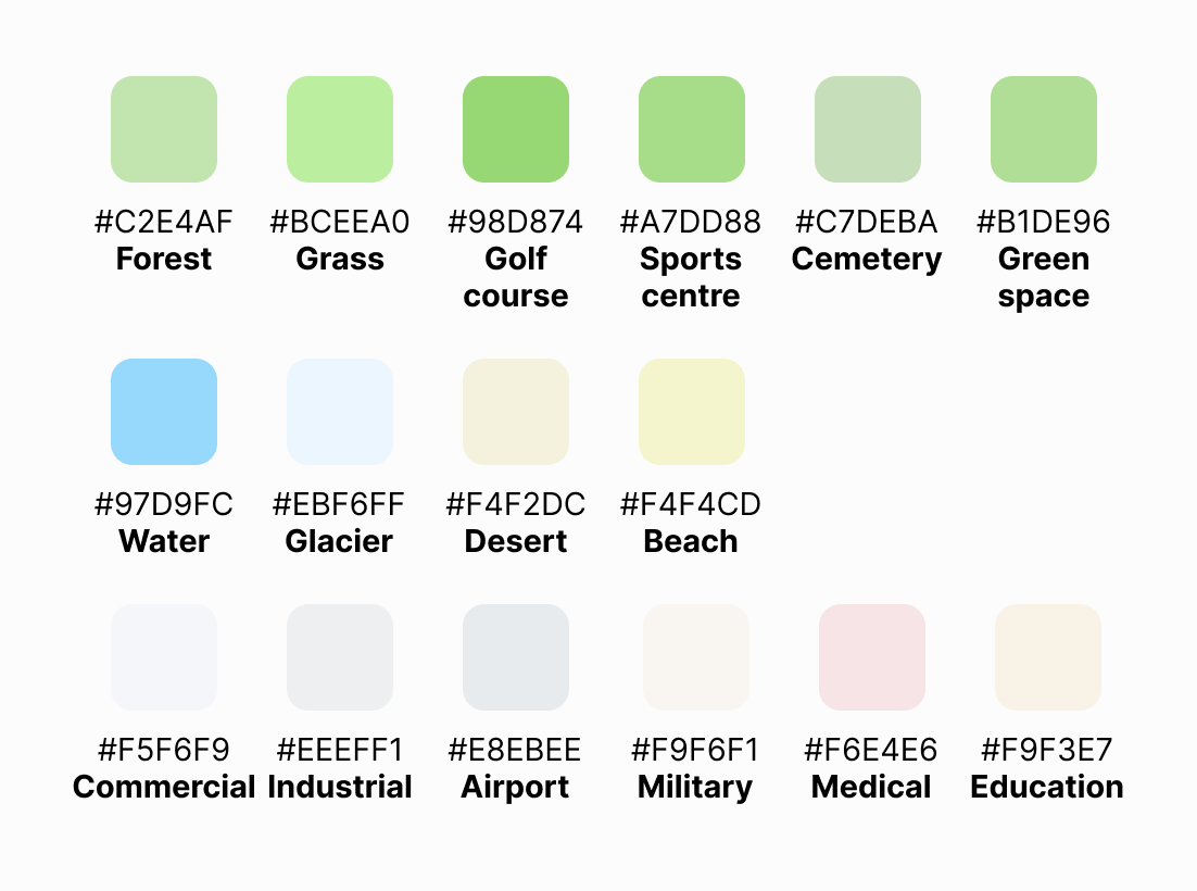
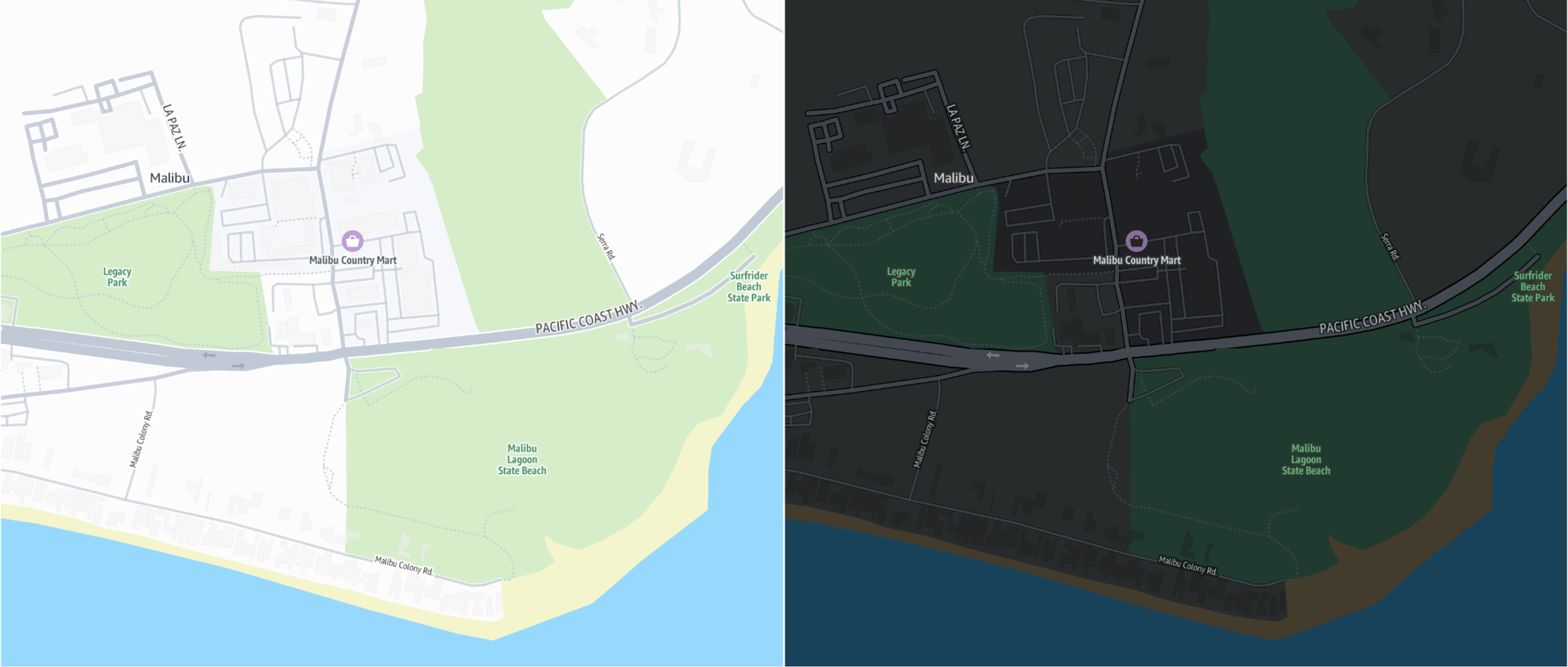
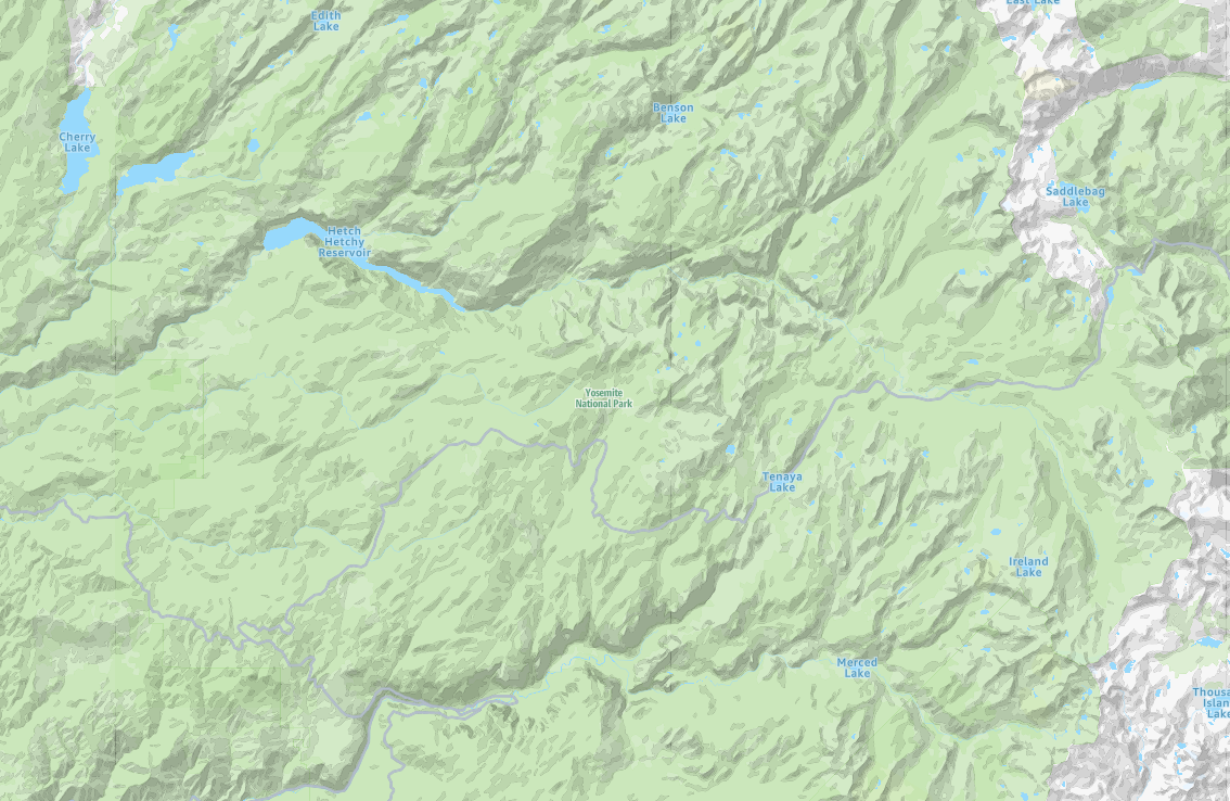
土地使用
標準地圖樣式使用生動的顏色來表示指定的土地用途。綠色代表森林、草地、球場、運動中心和公園。相關顏色用於水體、冰川、荒野和海灘。此外,商業、工業、機場、軍事區域、醫療設施和教育區域等土地使用會特別強調特定的生動類別。