本文属于机器翻译版本。若本译文内容与英语原文存在差异,则一律以英文原文为准。
生成静态地图时如何在 radius 和 zoom 之间做出选择
在本主题中,您将了解当使用 Amazon Location Service 生成静态地图时,如何在使用 radius 或 zoom 之间做出选择。radius 参数可以更精确地控制覆盖区域,因此非常适合那些已知确切覆盖范围的面向客户的应用程序。当您想要调整所显示细节的级别时,zoom 参数更适合用于地理空间分析。
使用 radius
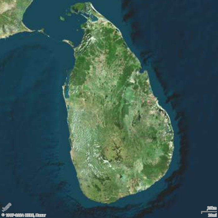
在本示例中,您将使用带有中心位置的 radius 参数来创建斯里兰卡的地图图像。
- Request URL
-
https://maps.geo.eu-central-1.amazonaws.com/v2/static/map?style=Satellite&width=700&height=700¢er=80.60596,7.76671&radius=235000&scale-unit=KilometersMiles&key=API_KEY
- Response image
-
使用 zoom
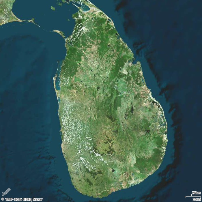
在本示例中,您将使用带有中心位置的 zoom 参数来创建斯里兰卡的地图图像。
- Request URL
-
https://maps.geo.eu-central-1.amazonaws.com/v2/static/map?style=Satellite&width=700&height=700&zoom=8¢er=80.60596,7.76671&scale-unit=KilometersMiles&key=API_KEY
- Response image
-